You may also be interested in…
If you are looking for driving instructors in Rutherglen, you may also be interested in driving lessons in Gorbals, Glasgow, driving schools in Castlemilk, Glasgow, or driving instructors in Glasgow. Each has distinct driving conditions and test centre options worth considering.
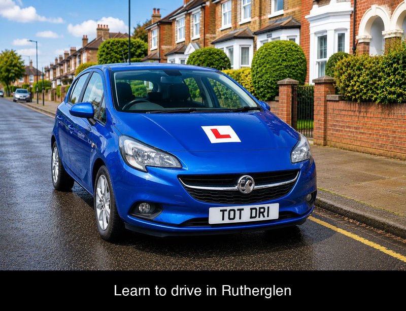
Driving Instructors In Rutherglen – Learning to Drive in Rutherglen
Looking for driving schools in Rutherglen? You might also be looking for driving instructors in Rutherglen? You have come to the right place. Whether you need driving lessons near me, automatic driving lessons near me, or manual driving lessons near me, our approved driving instructors are here to help.
Most learners need 47 hours of professional driving lessons to pass their test. An additional 22 hours of private practice with a family member or friend is also recommended.
Rutherglen’s nearest practical test centre is East Kilbride Driving Test Centre, which has a pass rate of 46.4%. When comparing driving instructors in Rutherglen, ask which test centre they prepare learners for. Practising on local routes makes a real difference to pass rates.
Learning to drive in and around Rutherglen means you will encounter a useful mix of road types, from residential streets and busy high street junctions to country lanes and main roads. This varied driving experience helps build the confidence and practical skills needed to pass your DVSA practical driving test first time.
Whether you are looking for your first lesson or want to build confidence before your test, instructors in Rutherglen provide patient, professional tuition tailored to your needs.
Whether you are looking for car driving lessons near me, or simply searching for a driving lesson near me, Whether you are looking for cheap driving lessons near me, affordable driving lessons near me, or the best driving lessons near me, choosing an instructor who knows the test routes can help you pass first time.
Rutherglen Practical Driving Test Centres
The 3 nearest practical test centres to Rutherglen are:
- East Kilbride Driving Test Centre, Driving Test Centre East Kilbride Bosfield Place, Legion Scotland, East Kilbride, G74 4DY – Google Maps
- Glasgow (Baillieston) Driving Test Centre, 341 Springhill Parkway, Glasgow, G69 6GA – Google Maps
- Glasgow (Shieldhall) Driving Test Centre, Bogmoor Road, Glasgow, G51 4TH – Google Maps
Rutherglen Theory Test Centres
The 3 nearest theory test centres to Rutherglen are:
- Pearson Professional Centre Tain, Main Function Suite, Ground Floor, Royal Hotel, Tain, IV19 1AB – Google Maps
- Pearson Professional Centre Glasgow, Third Floor, Empire House, Glasgow, G1 2RX – Google Maps
- Pearson Professional Centre Dumbarton, 86-88 High Street, Dumbarton, G82 1PQ – Google Maps
Quick Links
- Book your driving test
- Book your Theory Test
- Change your driving test appointment
- Driving test: cars
Frequently Asked Questions About Learning to Drive in Rutherglen
- How do I find a driving instructor in Rutherglen? Looking for driving instructors near me in Rutherglen? Find ADI-qualified driving instructors in Rutherglen on our dedicated driving instructors page. Look for driving instructors offering manual driving lessons or automatic driving lessons who know the local test routes.
- What is the practical driving test pass rate near Rutherglen? The national average practical test pass rate is 48.7% (49.5% for males, 47.6% for females).
Rutherglen’s nearest test centres and their pass rates:
East Kilbride — 46.4% pass rate (male 45.6%, female 47.2%)
Glasgow (Baillieston) — 44.4% pass rate (male 45.3%, female 43.2%)
Glasgow (Shieldhall) — 37.7% pass rate (male 36.9%, female 38.9%)
Your driving instructor in Rutherglen will prepare you for the specific routes and manoeuvres most likely to appear on test day at your chosen centre. - How much do driving lessons cost in Rutherglen? The national UK average driving lesson price sits between £35 and £40 per hour for standard manual driving lessons. Automatic driving lessons generally cost slightly more, ranging from £38 to £45 per hour. Block bookings typically reduce the per-lesson cost.
- What driving lesson types are available in Rutherglen? Driving instructors offer manual and automatic driving lessons, intensive driving courses, refresher driving for nervous or returning drivers, and motorway driving lessons for new licence holders.
- How long does it take to learn to drive in Rutherglen? The national average is 47 hours of professional driving lessons plus 22 hours of private practice. Actual time depends on your confidence, lesson frequency, and local driving conditions.
- What are the driving conditions like in Rutherglen? Rutherglen is a Central Scottish coastal town with a driving environment shaped by its seafront location, tourist traffic, and surrounding road network. The area offers a varied driving experience with both urban and coastal routes. Learners in Rutherglen face challenges including seasonal traffic surges, navigating seafront roads with pedestrians and cyclists, and mastering local junction layouts. The East Kilbride test centre is 4.4 miles away, with routes mixing town driving and faster A-road sections. Summer brings increased tourist traffic, while winter can bring coastal fog and wet roads. Your driving instructor in Rutherglen will help you prepare thoroughly for your practical test.
Report an Error
If you spot something wrong on this page — an incorrect address, a broken map link, a wrong pass rate, or anything else — please let us know.